Cerro Tortuguero
Viewpoint · Caribbean Coast
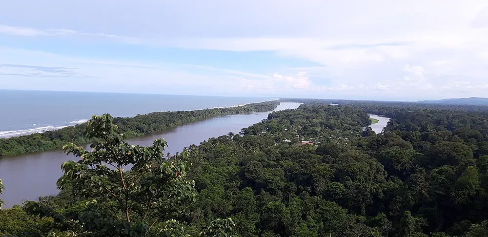

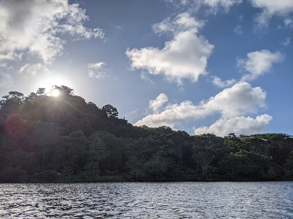

At 119 m, the highest point on Costa Rica's Caribbean coast: an old volcanic hill with 400-plus steps up to a lookout over the canals, endless rainforest and the turtle beach.
- Cost
- about $2
- Time there
- 2 h
- Best time
- morning
- Kids
- 5 / 10
- View
- 9 / 10
- Crowds
- 3 / 10
- Swimming
- 0 / 10
- Effort
- 5 / 10
- Location
- 10.5856, -83.5265 — Google Maps
Tip
Buy the $2 ticket online from SINAC beforehand (it can't be paid at the station) and take the public boat toward San Francisco, asking to be dropped at the Cerro entrance.
Be careful
Steps and boardwalks get slippery with wet leaves and algae, so use the handrails.
Getting there
Boat only, about 10 minutes from Tortuguero village; open roughly 8 am to 3:30 pm.
Places nearby
- Tortuga Lodge & GardensStays · from $150Riverside lodge in Tortuguero set in plantation-style gardens, offering guided boat, kayak and turtle-nesting tours.
- Laguna Lodge TortugueroStays · from $291.54Jungle lodge between the canals and the Caribbean sea in Tortuguero.
- Budda CafeFood & CoffeeTerrace restaurant in the middle of Tortuguero village with river views, a wide menu of traditional dishes with some creative touches and cocktails at sunset.
- Tortuguero Nature Native GuidesParks & Wildlife · from $30Local guides in Tortuguero running quiet paddle tours on the canals, national-park hikes, night walks and turtle-nesting tours; part of each fee goes to a local school and community.
- Restaurante Mi NiñoFood & CoffeeLocal and traveler favorite right next to the boat dock in Tortuguero, known for its ceviche, shrimp in coconut sauce and fruit juices; there can be a wait at peak hours.
Sources: OpenStreetMap node/6206165164 · Wikidata Q90364506 · https://twoweeksincostarica.com/cerro-tortuguero · https://www.wikidata.org/wiki/Q90364506 · https://www.openstreetmap.org/node/6206165164