Isla de Chira (Gulf of Nicoya)
Nature spot · Nicoya Peninsula · hidden gem
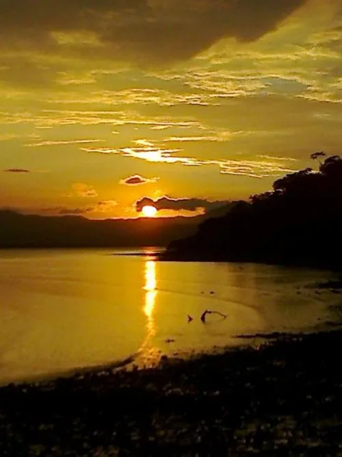

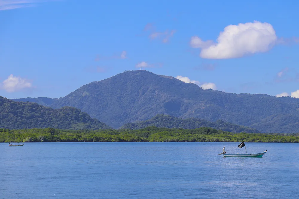

The biggest island in the Gulf of Nicoya and one of the most local trips in Costa Rica: about 3,500 islanders living from fishing, oysters and salt pans, with mangroves covering a quarter of the island. Fishers' and women's associations run community tourism - boat tours through mangrove channels with herons, roseate spoonbills and the odd crocodile, oyster farms, a crafts workshop - and on the west side at Montero a sand strip (tómbolo) runs out to tiny Isla Paloma.
- Time there
- 8 h
- Best time
- dry season (Dec-Apr); a full day or an overnight
- Kids
- 3 / 10
- View
- 7 / 10
- Crowds
- 1 / 10
- Swimming
- 5 / 10
- Effort
- 2 / 10
- Location
- 10.0995, -85.14567 — Google Maps
Before you go
- Tickets
- Better to book ahead
- Swimming
- No swimming
- Kids
- Good for kids
- Bring
- hat, water, sunscreen, binoculars
- Season
- May-August is the gulf fishing ban (veda); dry season (Dec-Apr) has the calmest crossings
- Checked
- 2026-10
Tip
Arrange the room and the mangrove boat tour with a local posada or a Chira boat operator before you go - services are few. May to August is the gulf's fishing ban, when fishers spend their time on mangrove and beach clean-up projects.
Be careful
Sun is fierce on the boat and in the open dry forest - bring hats and water. Don't swim in the mangrove channels (crocodiles); wear life vests on the launches.
Getting there
Daily boats from the Puntarenas fish market (about 1 hour), or a shorter crossing by hired boat from Costa de Pájaros or San Pablo on the mainland.
Sources: OpenStreetMap relation/6195062 · Wikidata Q164096 · https://www.teletica.com/masqn/ruta-pura-vida-un-viaje-por-las-islas-del-golfo-de-nicoya_416139 · https://ticotimes.net/?p=111567 · https://ciee.org/go-abroad/college-study-abroad/blog/how-save-mangroves-and-fisheries-lessons-isla-chira · https://nicoyapeninsula.com/gulf/islands/ · https://www.ecured.cu/Isla_de_Chira · https://www.openstreetmap.org/relation/6195062 · https://www.openstreetmap.org/node/11446540687