Cerro de la Muerte lookout (Cerro Buena Vista)
Viewpoint · San José & Central Valley · hidden gem
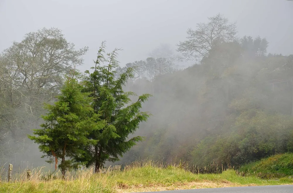

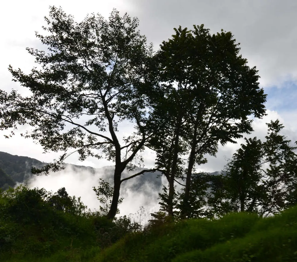

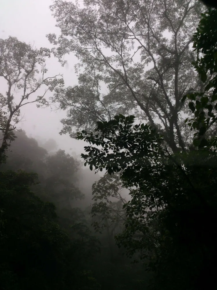


A high-altitude páramo stop on the Pan-American Highway, around 3,400 m, where telecom towers sit on Cerro Buena Vista. On clear mornings you can see both oceans; often it's fog and wind.
- Cost
- Free
- Time there
- 30 min
- Best time
- morning
- Kids
- 3 / 10
- View
- 8 / 10
- Crowds
- 1 / 10
- Swimming
- 0 / 10
- Effort
- 1 / 10
- Location
- 9.55433, -83.7565 — Google Maps
- Ratings
- 4.8 on Google (92)
Tip
Go early; the fog usually arrives by 9 or 10 am. Bring a warm jacket and don't push it if you're not used to high altitude.
Be careful
It is cold, windy and foggy up here. Drive slowly and use lights in fog, and don't leave anything visible in the car.
Getting there
Reached by the Pan-American Highway; the last stretch to the towers can be rough, so check conditions locally.
Places nearby
- Restaurante Doña MarlenSodas & Local FoodSmall family soda in San Gerardo de Dota praised as one of the country's best: trout casados and whole fried trout, a succulent garden, fair prices and a famous house cocktail.
- Café KahawaFood & CoffeeCozy garden café in San Gerardo de Dota, popular after hikes in the Savegre valley for trout dishes, a trout and cream cheese sandwich, desserts with fresh fruit and good local coffee, with quetzals sometimes seen from the tables.
- Miriam's QuetzalsFood & CoffeeFamily-run restaurant and bird-watching stop in San Gerardo de Dota: gallo pinto breakfast, casado or whole fried trout for lunch, and a garden with hummingbirds and visiting quetzals.
- Truchas Selva MadreFood & CoffeeMountain trout farm and restaurant off the Interamericana toward Cerro de la Muerte where you can catch your own trout or order it fried, with hiking trails to a waterfall and camping.
Sources: OpenStreetMap node/3372093458 · https://www.google.com/maps/search/Cerro+de+la+Muerte+mirador+Costa+Rica · https://www.openstreetmap.org/node/3372093458